Where does OceanLook's Data come from?
Hello from Oceanlook – The Eyes of the Sea!
Where does Oceanlook’s data come from?
Oceanlook provides real-time visibility into global maritime activity—but where does all this data come from, and how is it collected?
Oceanlook is more than just a simple map-based service. Behind the scenes lies a powerful data infrastructure capable of collecting, processing, and delivering vast amounts of maritime information with precision and speed.
In this post, we’ll walk you through the origins of Oceanlook’s data and how it’s structured to ensure accuracy and reliability.
1. The Core of Oceanlook: AIS Data
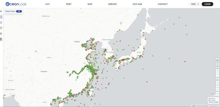
One of the most important data sources powering Oceanlook is AIS (Automatic Identification System).
AIS is a standardized global system where ships autonomously broadcast their location, speed, direction, and identity at regular intervals to promote maritime safety and situational awareness.
Oceanlook collects AIS data from three primary sources.
2. Oceanlook’s Data Sources
✅ Satellite AIS
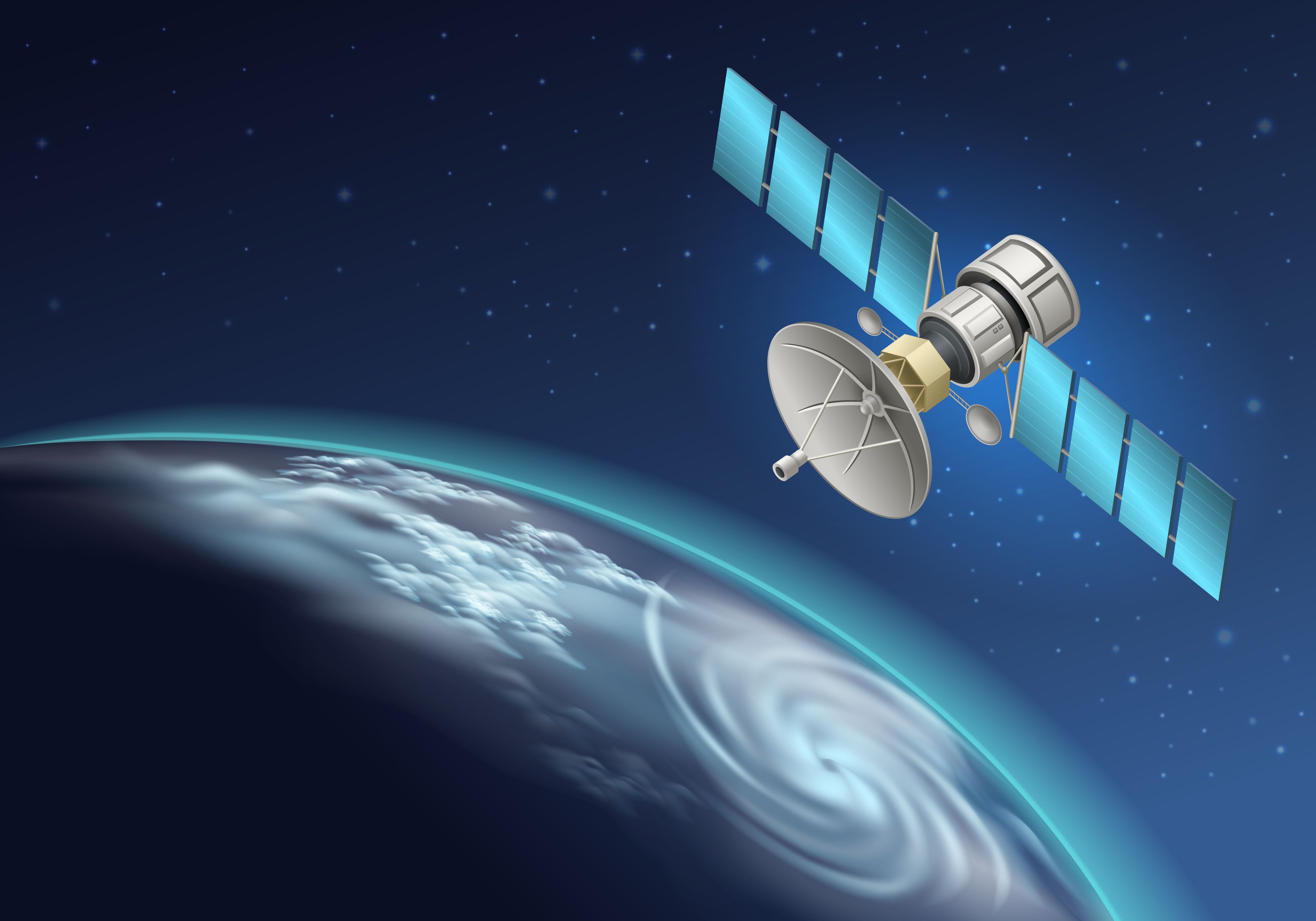
Data collected via satellites orbiting the Earth.
This is crucial for covering open ocean areas where terrestrial receivers are not available.
Oceanlook partners with leading global satellite data providers like Spire Global to deliver high-precision satellite AIS data, ensuring real-time vessel tracking even in the most remote seas.
✅ Terrestrial AIS

Signals received from ground stations located in ports and coastal areas.
These provide faster updates and higher-resolution data in nearshore and port regions.
Terrestrial AIS is especially useful for port operations, coastal traffic monitoring, and local maritime safety.
✅ Dynamic AIS (Ship-based Receivers)
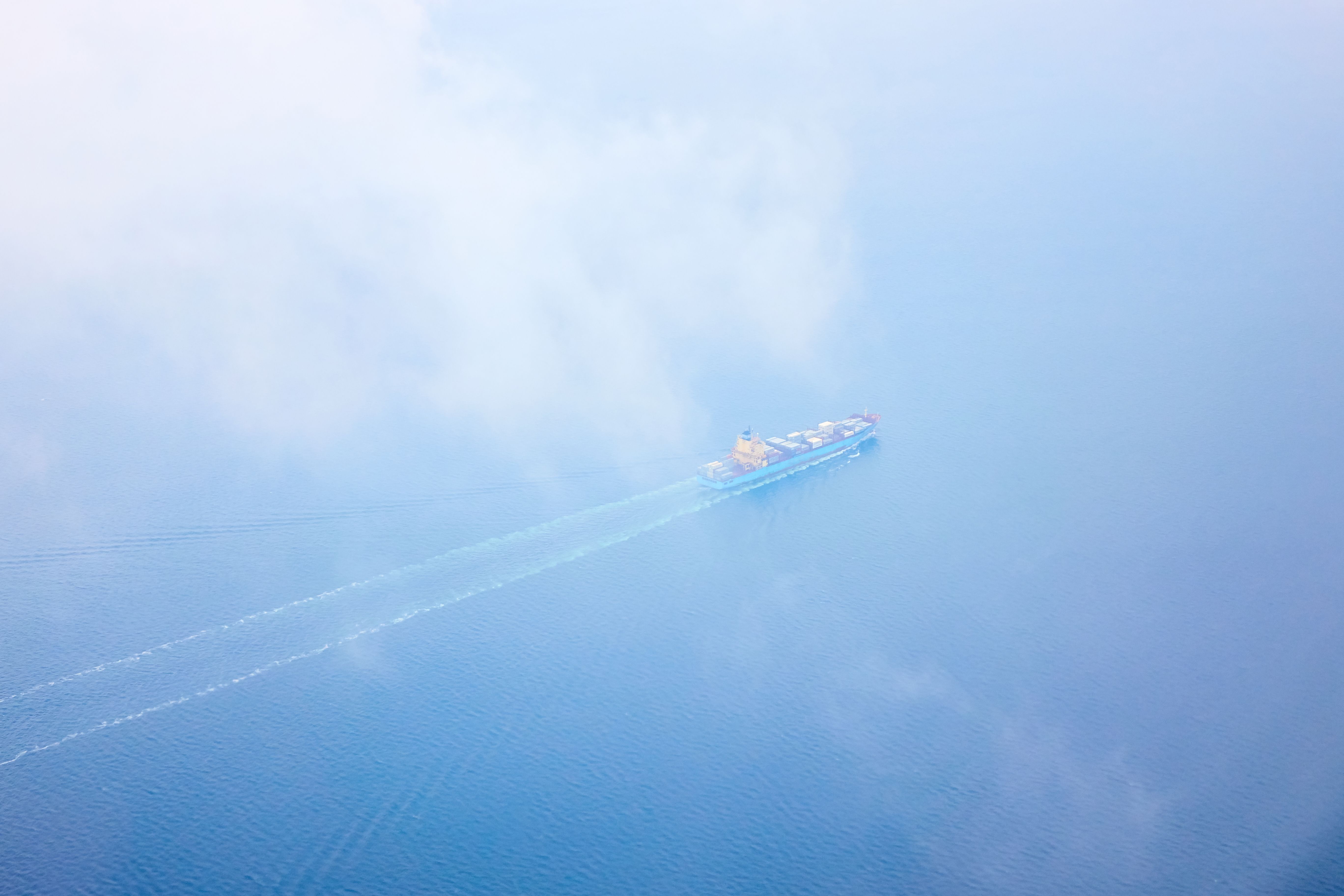
When satellite or terrestrial coverage is temporarily unavailable, AIS data can still be received via ship-based receivers.
These are installed on selected vessels and ensure that key maritime zones like the East and South China Seas—often congested and critical—remain covered without data gaps.
3. Data Processing and Quality Enhancement

All AIS data collected from space, land, and sea is processed through Oceanlook’s internal data refinement pipeline.
This includes:
- Removing duplicates
- Correcting anomalies
- Updating and verifying the latest vessel positions
This ensures that users always receive clean, accurate, and reliable information visualized directly on our platform.
In Summary

Oceanlook integrates Satellite AIS, Terrestrial AIS, and Dynamic AIS to build a comprehensive and high-fidelity maritime intelligence platform.
We empower industries such as shipping, logistics, port management, and maritime safety by providing actionable insights and real-time vessel monitoring data.
Thank you for sailing with Oceanlook!