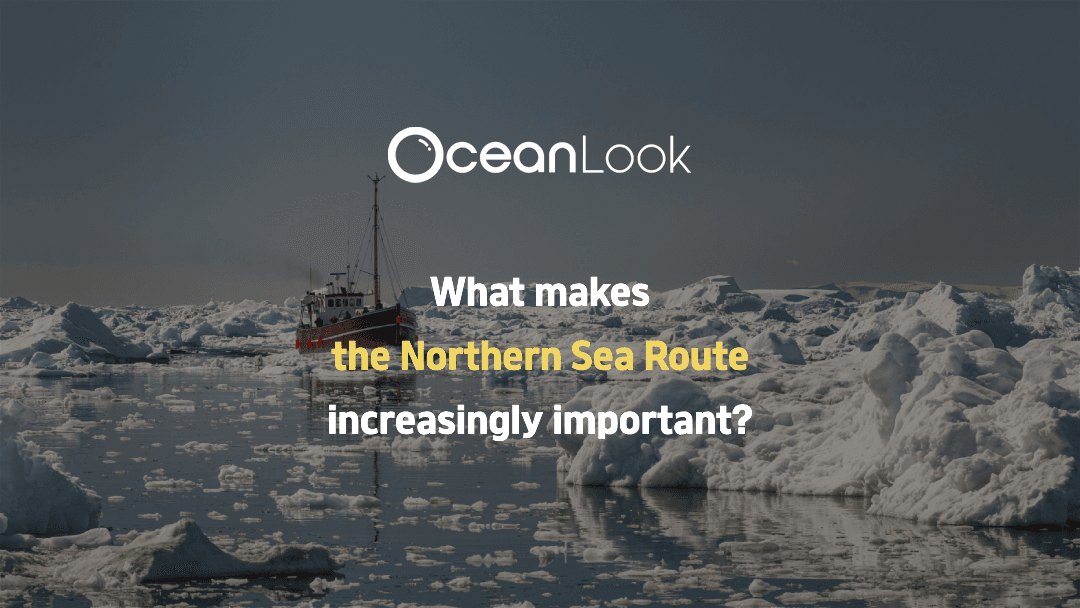
🚢 A New Route Opens Across the Frozen Sea
❄ Why Is the Northern Sea Route (NSR) Gaining Global Attention?
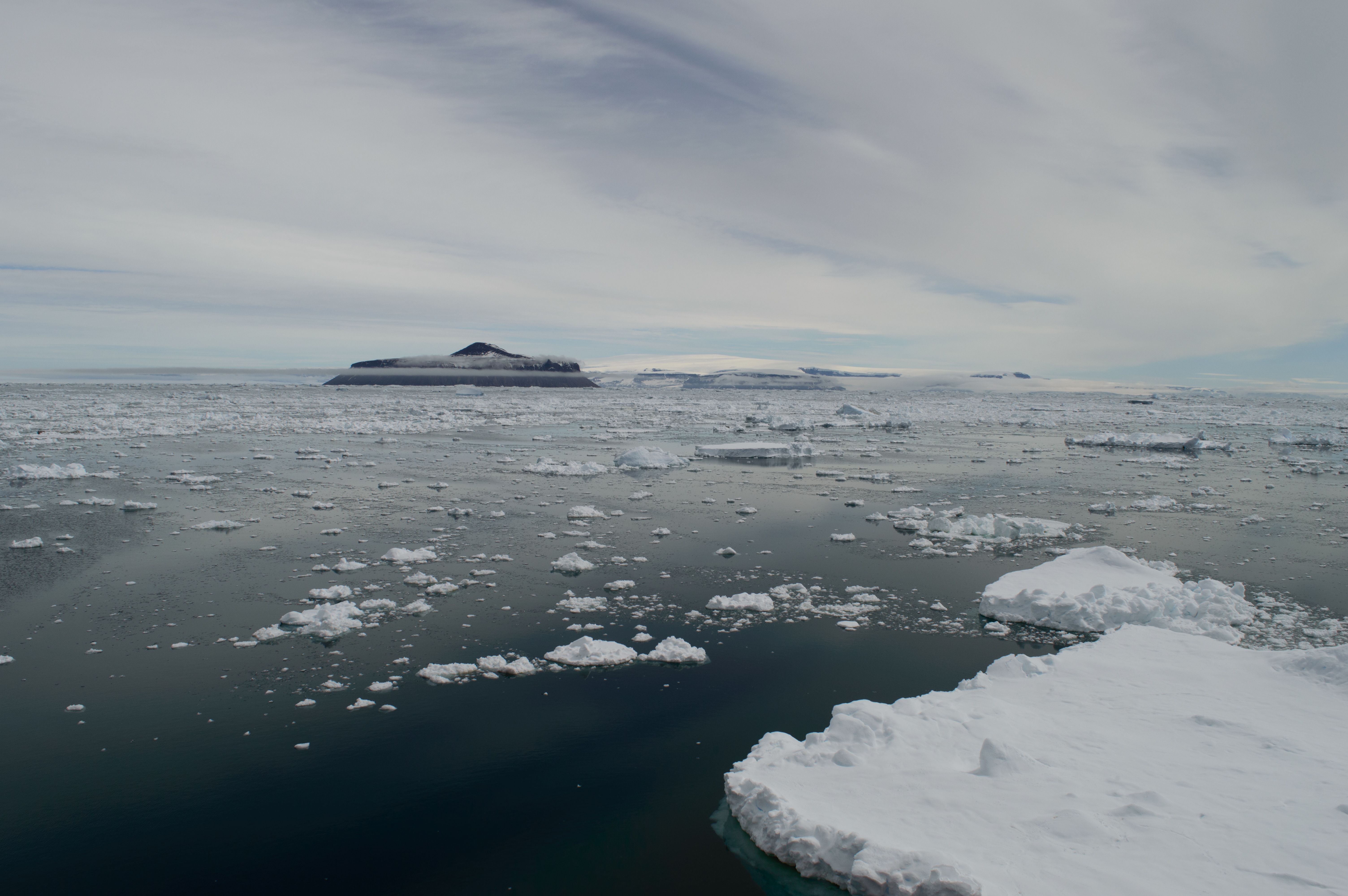
As Arctic sea ice continues to melt due to climate change, the once-distant dream of commercializing the Northern Sea Route (NSR) is becoming more realistic. The NSR is now seen as a strategic alternative to traditional routes such as the Suez Canal or Panama Canal, offering a much shorter connection between Asia and Europe.
🧭 What Is the Northern Sea Route?
The Northern Sea Route refers to the maritime passage that runs along the northern coast of Russia. Generally, it extends from the Kara Sea, across the northern Siberian coast, and ends at the Bering Strait.
Using this route can reduce the sailing distance between Busan and Rotterdam by approximately 30–40%.
However, due to sea ice, weather risks, and limited infrastructure, year-round navigation remains difficult, and the route is typically only operational during the summer to autumn months.
Recently, however, advances in satellite technology and the deployment of icebreakers have enabled limited winter navigation as well.
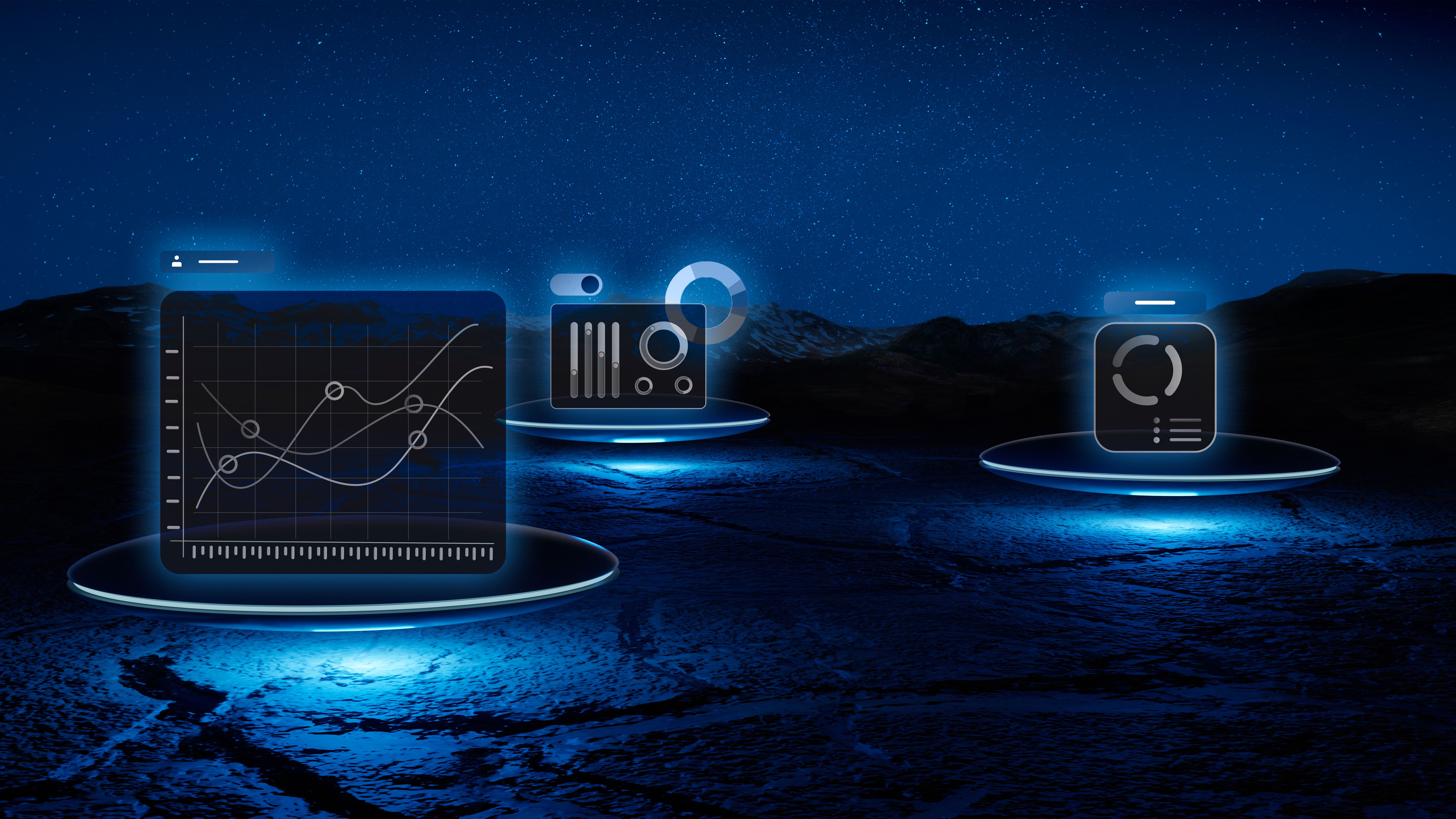
🌍 Can AIS Data Be Used to Track NSR Activity?
AIS (Automatic Identification System) automatically transmits a vessel’s location, speed, and direction.
While AIS is typically received via terrestrial base stations, it’s nearly impossible to collect this data in remote regions like the Arctic Ocean, where there are no land-based receivers.
That’s where satellite AIS comes in. Satellite AIS can pick up vessel signals even in polar regions, making it one of the only viable ways to track ship activity along the NSR, where AIS blind spots are common.
🛰 What Kind of Information Can Be Tracked?
Once satellite AIS data is collected, the following insights can be extracted to monitor vessel activity on the NSR:
- MMSI (vessel ID), ship name, flag
- Real-time position (latitude & longitude)
- Voyage history (origin and destination)
- Vessel type (LNG carrier, bulk carrier, container ship, etc.)
- Navigational status (underway or at anchor)
Using this data, analysts can assess how many vessels are actually using the NSR, during which months, and along which specific routes.
🔍 How Can We Monitor the NSR?

There are now multiple platforms that offer Arctic monitoring via satellite AIS data. For stakeholders in shipping, logistics, or academia, monitoring the NSR can involve:
- Collecting vessel data for specific regions via AIS providers
- Creating geofences along the NSR to identify ships crossing the corridor
- Analyzing historical voyage data by season, vessel type, or destination
Since the NSR passes through environmentally sensitive and regulated areas, vessels must comply with IMO (International Maritime Organization) standards. Therefore, location-based tracking and analysis are increasingly critical.
✍ In Summary
The Northern Sea Route is not yet fully commercialized, but its usage is steadily growing in response to climate change, technological advancement, and shifting geopolitical dynamics.
As interest in the Arctic intensifies, it’s becoming more important to combine vessel tracking with ice and weather monitoring to support safe and efficient route planning.
The NSR may no longer be a speculative alternative—it’s becoming part of the emerging global maritime network.
🚀 Want to Start Monitoring Arctic Activity?
To stay ahead of these changes, platforms like Oceanlook offer a user-friendly way to track vessel activity along the NSR using AIS data.
From satellite AIS vessel tracking and route visualization to NSR transit analysis, Oceanlook provides key insights via a web interface—without the need for complex data processing.
This makes it a powerful tool for professionals in shipping, logistics, policymaking, and research.