"Satellites Alone Aren’t Enough! For Greater Accuracy, Use Terrestrial Stations with OceanLook!"
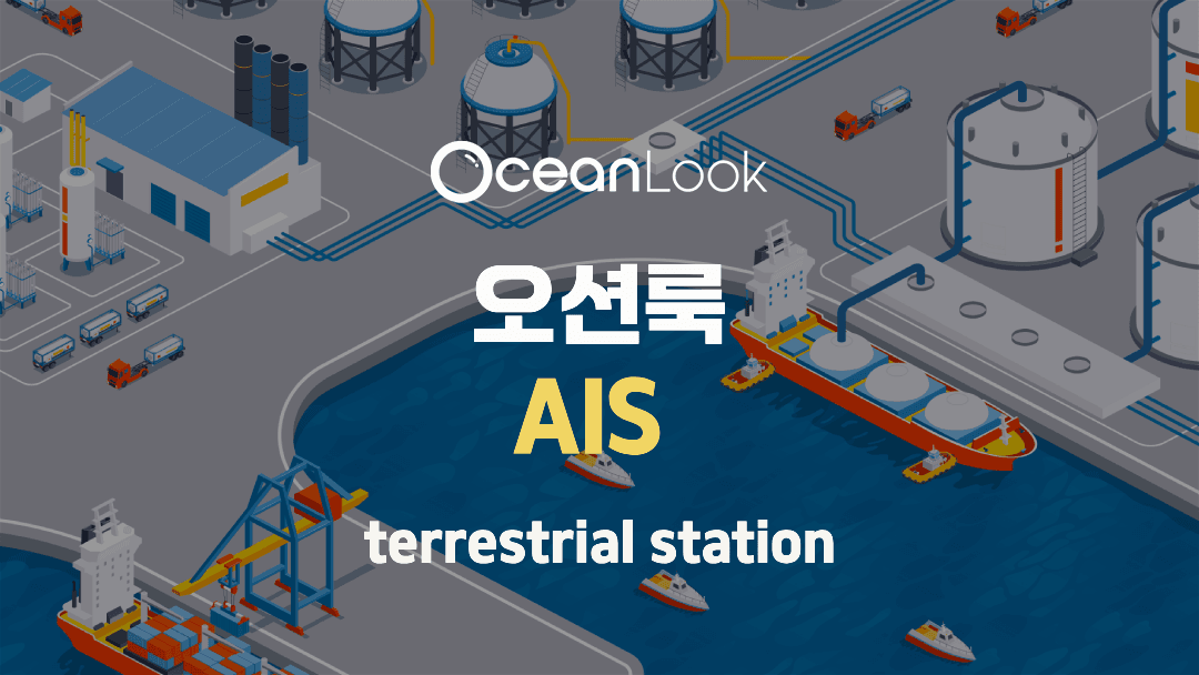
🌊 How Does OceanLook Show Ships in Real Time?
– Introducing the AIS Terrestrial Stations Installed by EcoMarine
Every day, thousands of ships travel across our seas.
Surprisingly, it’s now possible to check where these ships are coming from, where they’re going, and exactly where they are — all in real time.
This is made possible by OceanLook, our maritime tracking service.
But how does OceanLook provide such detailed and up-to-date information?
At the heart of it all are our AIS terrestrial stations. Today, we’d like to share the story behind these stations — in a way that’s easy to understand 😊
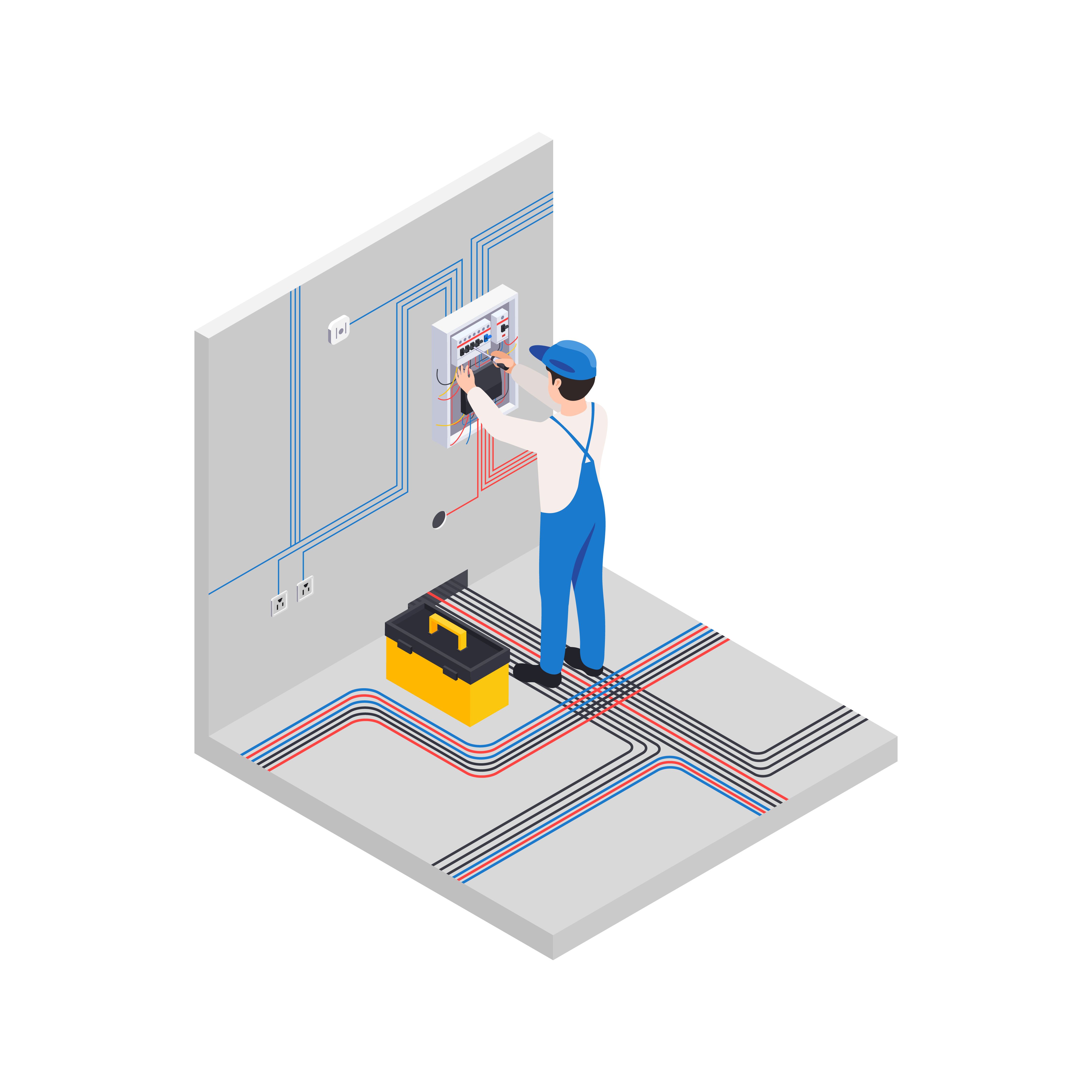
📡 What Is an AIS Terrestrial Station?
Ships are equipped with devices that automatically broadcast their location, speed, name, destination, and more.
This broadcast is called an AIS (Automatic Identification System) signal.
You can think of it like a ship saying, “Hey, I’m right here!”
But for someone to hear that message, there needs to be a listener — ideally located near the coast.
That’s where AIS terrestrial stations (shore stations) come in!
Simply put, you can think of them as:
“Antennas placed along the coastline to receive real-time ship location data.”
🏝️ EcoMarine Installs These Stations Directly
EcoMarine, the company behind the OceanLook service, installs AIS terrestrial stations across major ports and coastal cities in South Korea.
For example:
- A station installed on the rooftop of a high-rise building in Haeundae, Busan → Receives ship location data from the Busan sea area all the way to near Tsushima Island (Daemado).
- A station near Yeonan Pier in Incheon → Tracks ships operating around the greater Seoul metropolitan area.
Each station can detect AIS signals from ships within a radius of approximately 70 kilometers, receiving real-time updates every second.
🧭 Why Did We Install Our Own Stations?

Most free ship tracking apps and websites rely only on satellite AIS, which often causes delays — sometimes showing ship positions 10 to 30 minutes late.
But because EcoMarine operates its own AIS terrestrial stations, OceanLook offers:
✅ Real-time tracking – ship positions are updated every few seconds
✅ Accurate tracking near ports – even in busy harbor areas
✅ Coverage for ships that satellites might miss
That’s why OceanLook is trusted and actively used by Korean port authorities and major shipping companies for daily operations.
🛰️ A Hybrid Approach: Combining Satellites and Shore Stations
OceanLook doesn’t rely solely on terrestrial stations — it also integrates satellite AIS data.
Ships in the middle of the ocean or in international waters are tracked via satellites.
Ships near coastlines and ports are tracked faster and more accurately via terrestrial stations.
In short, OceanLook uses both land and space to ensure seamless global maritime coverage.
🔍 How Can Everyday People Use OceanLook?
Export/import professionals: Check when cargo ships will arrive in port
Shipyard staff: Monitor berthing schedules and vessel queues
Port authorities: Analyze congestion and optimize port operations
Maritime safety officers: Track vessels to help prevent accidents
And of course…
Even if you simply love the sea, it’s fascinating to watch ships moving in real time across the ocean 😊
💬 In Closing
At EcoMarine, we don’t just provide data —
we install the equipment ourselves and collect the data directly.
That’s why the vessel information delivered through OceanLook is
fast, accurate, and reliable.
If you have any questions, feel free to reach out anytime!
The ocean is closer than you think —
watch it live with OceanLook 🌐